“Irreversible” glacier retreat in West Antarctica began 70 years ago
The retreat of the Pine Island Glacier on the West Antarctic ice shelf began in the 1940s, kick-started by the arrival of warm water from the Pacific Ocean.
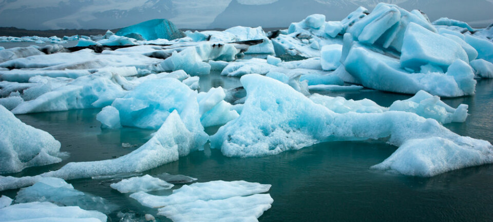
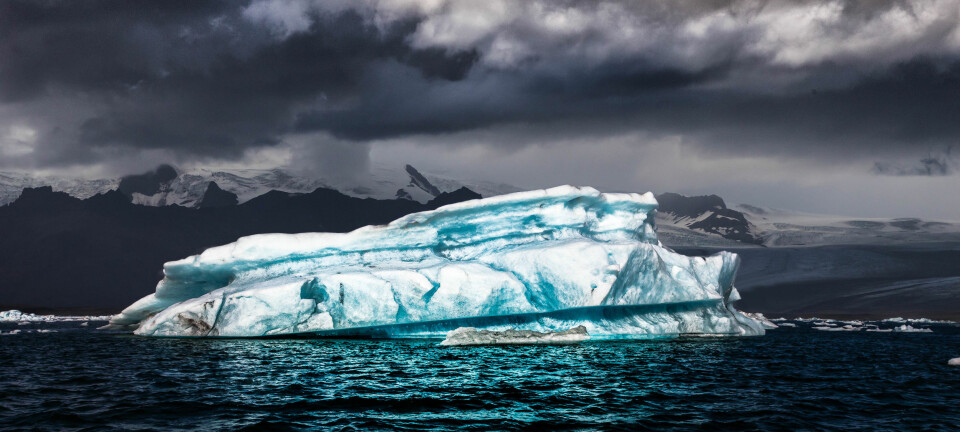
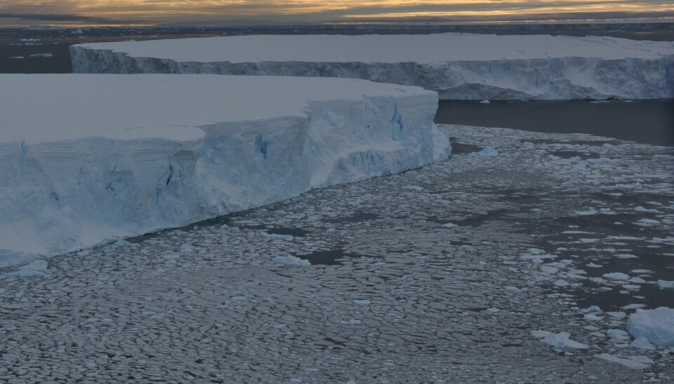
The Pine Island Glacier is a canary in the mine for glacier retreat in West Antarctica. This vast glacier is retreating faster and dumping more ice into the sea than any other glacier on Earth.
The retreat of the Pine Island glacier has been dubbed “unstable and irreversible” by several studies, but despite its significant contribution to rising sea levels, scientists have not been able to pinpoint precisely what kick-started the retreat and when it occurred.
Scientists now have the answers to both of these questions.
“The retreat of Pine Island Glacier started in the mid-1940s, prior to satellite observations, and this retreat coincided with a strong phase of warming that was driven by an El Niño event,” says lead-author James Smith from the British Antarctic Survey.
“The changes instigated in the mid-1940s have continued, and even after the warming phase ended, the glacier has continued to retreat. So it’s a worrying trend that once these events occur, it can put in place a long-term trend that continues,” says Smith.
The results are published in Nature.
Read More: Human-induced global warming began 180 years ago
El Niño brings warm water from the Pacific Ocean to Antarctica
El Niño events are part of a natural cycle in the Earth’s climate where the tropical Pacific Ocean becomes unusually warm. This extra heat disrupts ocean currents and rain patterns throughout the Pacific and the rest of the world.
Today, these events add an extra dimension of warming on top of the underlying trend of increasing global temperatures and contributed to the record-breaking warm temperatures recorded in 2015 and the early part of 2016.
During an El Niño, warm ocean water and weather flows towards West Antarctica, where it can attack glaciers, like the Pine Island Glacier, as they flow into the sea and form a floating ice shelf.
In the early 1940s, this warmer-than-usual water entered the Amundsen Sea in West Antarctica and melted the Pine Island Glacier ice shelf from underneath. This set in motion a trend of thinning and retreat that continues to this day, according to the new study.
Read More: How the Greenland ice sheet fared in 2016
Several studies point towards the "unstable and irreversible" retreat of the Pine Island Glacier (Video: GeoBeats News / YouTube)
Change in ocean sediments records glacier retreat
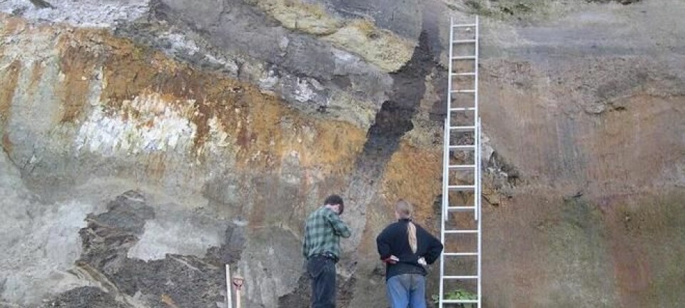
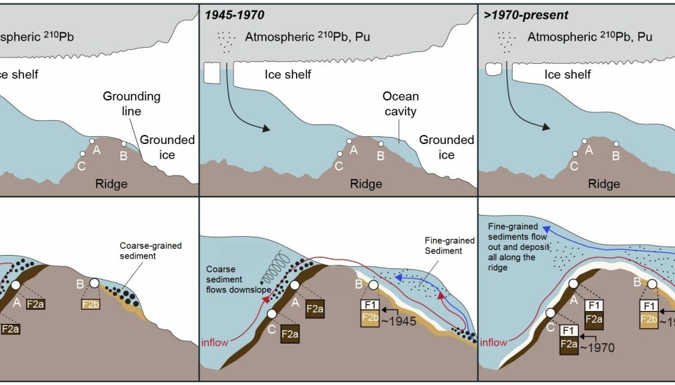
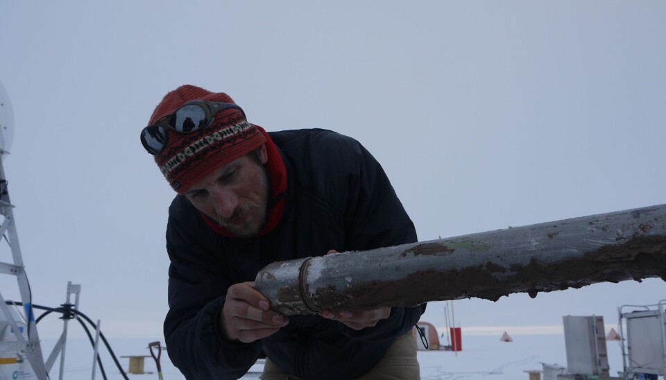
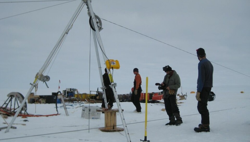
Smith and colleagues discovered the onset of this retreat by studying three cores of ocean sediments retrieved from an underwater ridge beneath the ice shelf.
Scientists have long suspected that the glacier once rested upon this ridge, so studying these muds and sands might reveal when and how the ice shelf started to retreat and eventually become totally detached.
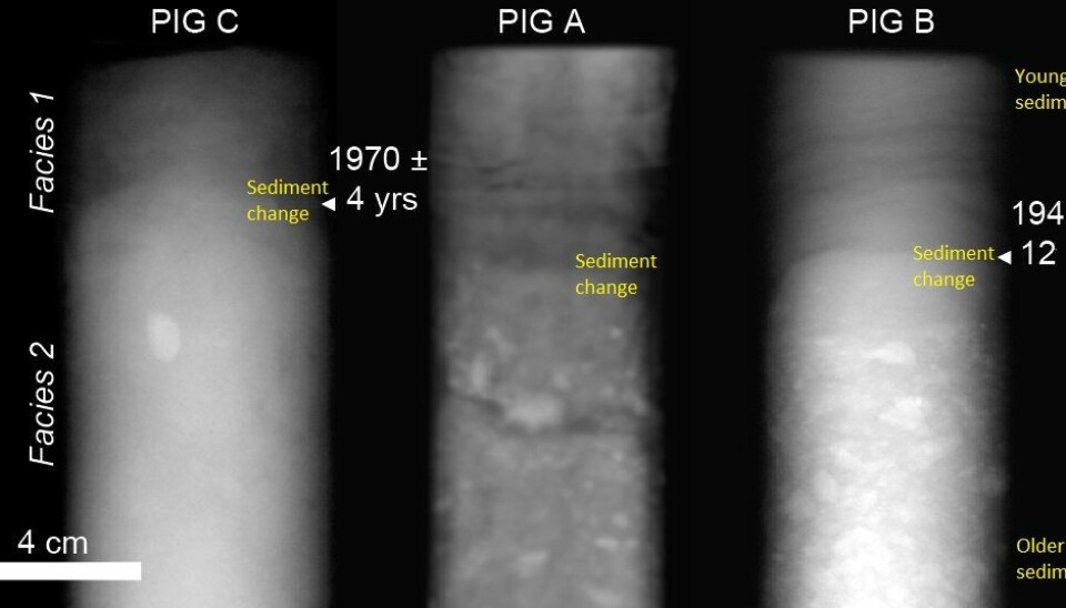
When Smith and colleagues opened up the sediment cores, they immediately noticed that all three contained a distinct change in the type of sediment deposited, which marked the initiation of the rapid retreat that we see today.
It was up to Professor Thorbjørn Joest Andersen from the Department of Geosciences and Natural Resource Management at the University of Copenhagen, Denmark, to figure out how old this sediment was, which could tell the scientists when the change occurred.
Andersen looked for both natural isotopes of lead and artificial isotopes of caesium--the man-made isotopes released by nuclear tests in the 1950s and 60s--to date the ocean sediments.
“We didn’t actually see the caesium isotopes, but we did see plutonium isotopes which confirmed the dating performed by the natural lead-isotopes. Based on this combination we dated the sediment to see when each level in the core was deposited,” says Andersen.
Each core contained a distinct layer that showed when the ice became unpinned from the ridge on the sea floor, and Andersen dated this layer in one core to the early 1940s, which coincides with the strong El Niño of 1939 to 1942.
Read More: Elephant seals help scientists study climate change
Dates match evidence from satellite images
But even after the El Niño event ended, the melting continued. In the two other cores, the same distinctive sediment layer was dated to the 1970s, marking the point at which the shelf became completely detached from the ridge.
Once detached, the floating ice shelf offers little resistance against melting ice from the glacier on land, and there is little to stop the land ice from surging into the sea and further accelerating ice loss from West Antarctica.
“The geological evidence not only tells us when retreat started, but the final ‘lift off’ of the ice sheet fits perfectly with evidence from satellite images,” says Smith.
“One image from 1973 showed a bump on the ice, showing that the glacier was in contact with the ridge below. Shortly after this, the bump disappeared, and that matches our data.”
Dr Matthias Forwick, head of the Department of Geosciences at the The Arctic University of Norway (UiT) in Tromsø, is impressed with the results. He was not involved in the new study, but has worked with some of the scientists on previous studies of the Pine Island Glacier.
“It’s a very nice study and it underlines the value of geological records to understand ice sheet dynamics in the recent past. We use a lot of techniques today, such as satellite measurements and images to understand glaciers, but they show that geological records over short time periods can also be very useful,” says Forwick.
“It’s very rare to have these kinds of recent geological records. For a geologist it’s spectacular as they are quite unique,” he says.