This article is produced and financed by The Norwegian Meteorological Institute - read more

New method for weather forecasting in the Arctic
By taking into consideration the insulating effect of snow on top of sea ice, researchers improve our weather forecasting capabilities in the Arctic.
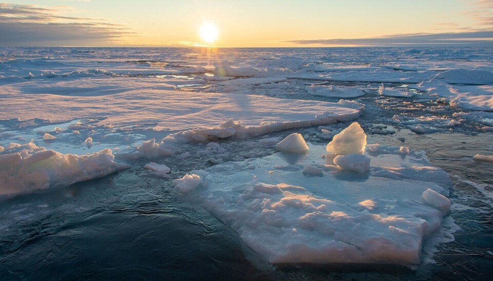
The air in the Arctic is freezing cold. Under clear skies during the arctic winter, temperatures in the air near the ice surface can drop to minus 40 degrees Celsius.
Sea ice in the Arctic forms as a floating layer of frozen seawater. The water beneath the ice gets no colder than about one degree below zero. That means that the sea is considerably warmer than the air above it, which results in heat being transported from the ocean to the atmosphere.
Snow on the ice makes the air colder
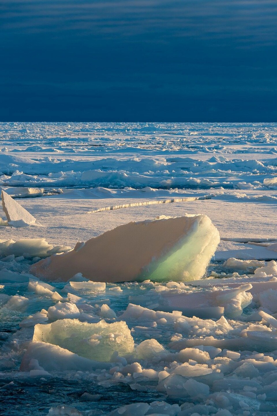
Sea ice is often covered by a layer of snow. Snow provides excellent insulation and impedes the transfer of heat from the water beneath the ice, to the air above it. In fact, the layer of snow insulates seven times more effectively than ice of the same thickness.
Because of the strong insulating effect of snow, the air above snow-covered sea ice will generally be colder than the air above bare ice, all other factors being equal.
Researchers Yurii Batrak and Malte Müller from the Norwegian Meteorological Institute have examined various weather models currently in use around the world – models that form the basis for weather forecasting. None of the models had fully taken into consideration the fact that sea ice often has a layer of snow on top.
"That’s why we strived to improve our operational model to represent the snow layer in a more realistic way", says Batrak.
Batrak and Müller recently published their findings in the journal Nature Communications. The work is part of the research project The Nansen Legacy.

Five to fifteen degrees too warm
In their study, Batrak and Müller compared forecasts from different weather models with the temperatures actually measured on the surface of the ice. This temperature is closely related to the air temperature just above the ice.
The improved weather model that takes into account the presence of snow on the ice was the only model that accurately predicted air temperature over the ice. All the other models that the researchers examined indicated temperatures higher than measured, between 5 and 15 degrees too high.
As a result of this study, an improved weather model that takes the snow layer on the ice into consideration has now been adopted by Yr (yr.no) for use in Arctic areas.
A lot of research goes into a weather forecast
Modern weather forecasts are based on models of how physical processes in the earth’s atmosphere function. The daily forecasts of weather, sea, snow, and ice conditions that you find on Yr (yr.no) are the result of detailed calculations done by a supercomputer.
The numerical models are researchers’ attempts to describe how nature behaves. These models are not set in stone once and for all. Researchers work constantly to develop and improve them.
One of the researchers’ goals is to connect different models – to connect ocean and atmosphere, or ocean and ice. The long-term overarching goal is to create a unified model in which all conceivable elements are linked in the most realistic way possible. This is called Earth system modelling.
For weather forecasts to be accurate, it is important that the models resolve natural processes as realistically as possible.
The researchers have investigated how well the numerical models simulate the cold temperatures measured in the Arctic.
"This work is a step on the way towards coupled ocean, ice, wave and atmospheric forecasting systems. The ultimate goal is a fully integrated earth system model", says Malte Müller.
The ship that gathered information while frozen in the ice
One of the obstacles to making accurate weather forecasts in the Arctic is the demanding weather conditions and a lack of infrastructure. The region offers few places where it is possible to set up weather stations to measure temperature and other important parameters.
Yurii Batrak says that he and Malte Müller got the idea for this study when observations from the Norwegian Polar Institute’s research vessel Lance became freely available.
Four times during one ice season, RV Lance was allowed to freeze into sea ice and drift with it, while instruments on board collected information about temperature and other factors.
"That’s really where it started. Here we had access to a dataset of observations which were taken directly over the Arctic sea ice. It was an opportunity we couldn’t miss", says Batrak.
Reference:
Yurii Batrak and Malte Müller: On the warm bias in atmospheric reanalyses induced by the missing snow over Arctic sea-ice. Nature Communications, September 2019.


