Searching in the dark
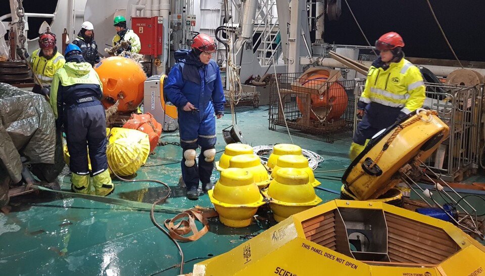
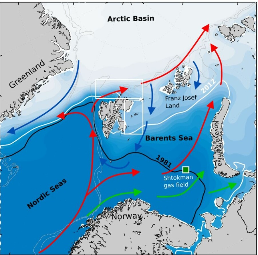
On a cruise with RV Kronprins Haakon in the northern Barents Sea in the dark, we are looking for two things; purely practical for oceanographic instrument moorings that have been out and doing measurements in the ocean for one to two years, and which will now be retrieved from the depths of the ocean. Scientifically, we are looking for answers to where the warmest water in the area comes from. The measurements made by the instruments on the moorings that are now being picked up, will help us find answers to this scientific question.
The cruise covers two areas; the inner northern Barents Sea and the continental shelf slope towards the deep Arctic Ocean. In the Barents Sea, the Nansen Legacy has had moorings in four strategic locations since the fall of 2018. These are areas that have deeper connection, either to the Atlantic-influenced part of the south and west, or to the warm current that follows the topography on the north side. The projects A-TWAIN and SIOS-InfraNor have moorings that cover the inflow of warm Atlantic water going west and then north of Svalbard. Together, these new datasets will give us a much better understanding of seasonal variations in temperature and water exchange between the different areas, and the mechanisms that control the changes. In addition, the data will be valuable for interpreting observations of biogeochemistry and marine biology, as well as checking how good the ocean and sea-ice models for the area are. In addition to recovering and deploying moorings, we make measurements of salt content, temperature and ocean currents at several locations to complement the data from the instrument moorings into a larger geographical context.

This year there has been more ice in the Barents Sea than in a long time. The area we are in when this is written north of Kvitøya - was only ice-free for a couple of weeks in October. Getting the instrument moorings up can be challenging when we first have to clear a larger area for drifting sea ice with the ship. Fortunately, so far, things have gone well, thanks to skilled instrument engineers and the excellent crew of RV Kronprins Haakon. We have recovered six moorings so far, but many more to go. Earlier scientific cruises on other vessels this year cruises did not manage to pick up some of these moorings due to heavy ice conditions. Our cruise is the last of the year with personnel trained for such rig work. We have therefore been asked to pick up some extra moorings north of Svalbard for institutions we collaborate with, something we are happy to do. Collaboration is essential here outside the beaten track, and next time it may be us who will need assistance.
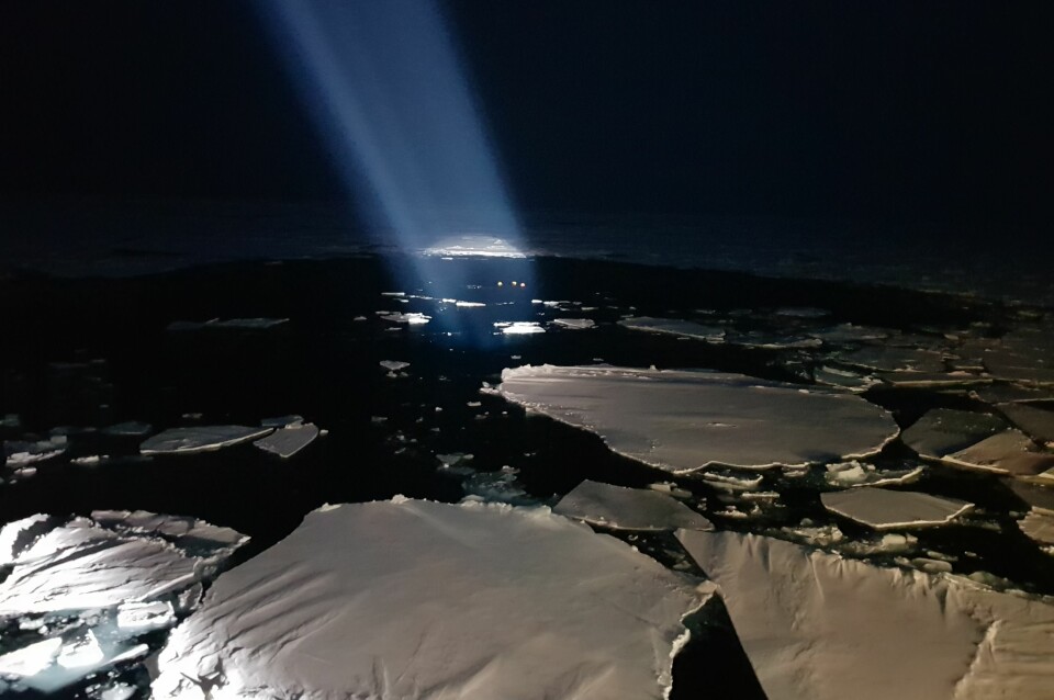
The atmosphere on board RV Kronprins Haakon is good. At the beginning of the cruise, in the middle of the Barents Sea, there was a full moon and a skim light along the southern horizon in the middle of the day. Now that a week has passed and we are at 81 degrees north, it is almost dark even at noon. Nevertheless, as we break further north, in the ship's powerful floodlights we can clearly see the contrasts between thin, newly formed ice and thicker, older ice with light snow cover and polar bear tracks.


