Protecting Greenland’s animals from oil spills
Researchers have prepared a new online atlas that shows the areas in Greenland that are most vulnerable to oil spills. The atlas will protect the island’s animals.
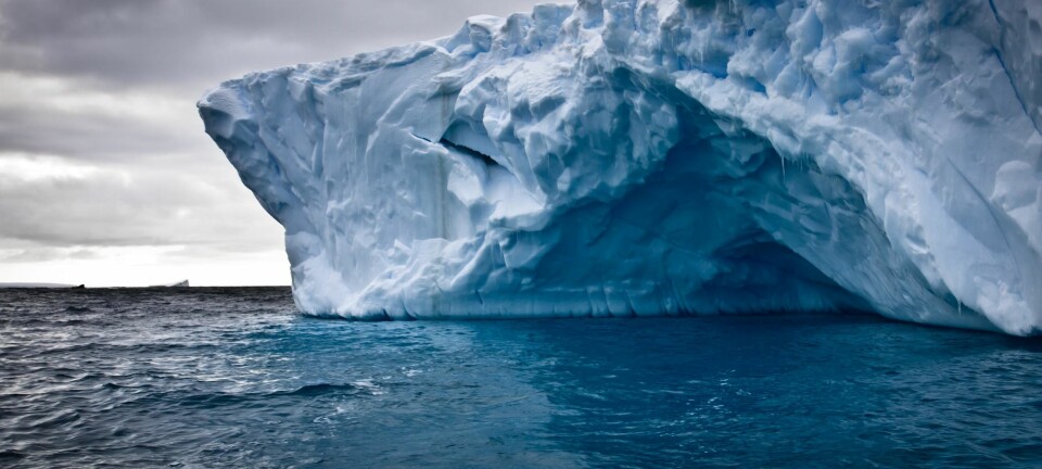
Global warming is causing Greenland’s ice to melt, which opens up areas of the seas around the island where there are good chances for finding oil.
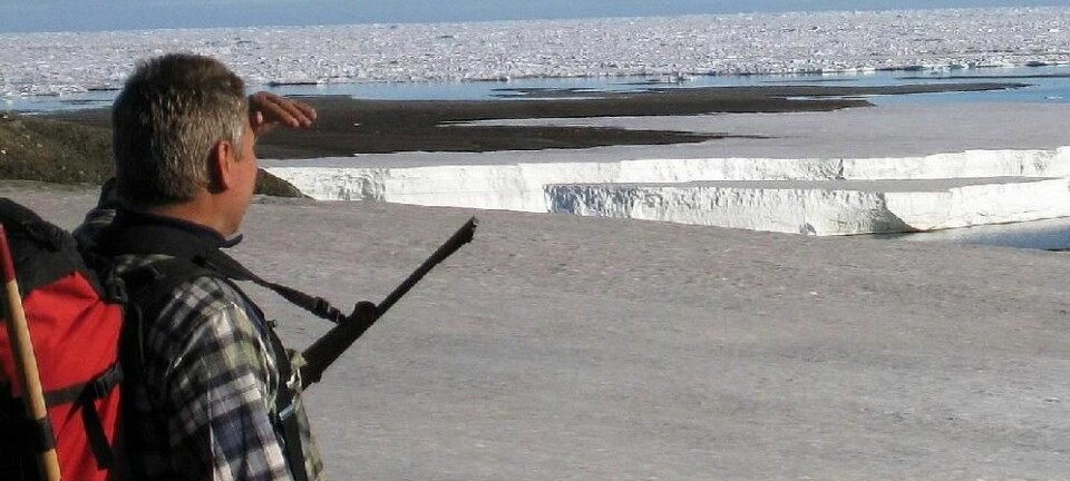
Over the past two years, oil companies have drilled deep beneath the surface of the water in the hope of finding a jackpot. The hunt appears to be promising and in November 2011 it was announced that traces of oil had been found in one the five test wells being drilled.
However, drilling for oil has negative consequences in the form of a risk of serious spills, and even the smallest oil spill in the vulnerable natural areas of Greenland can have serious results.
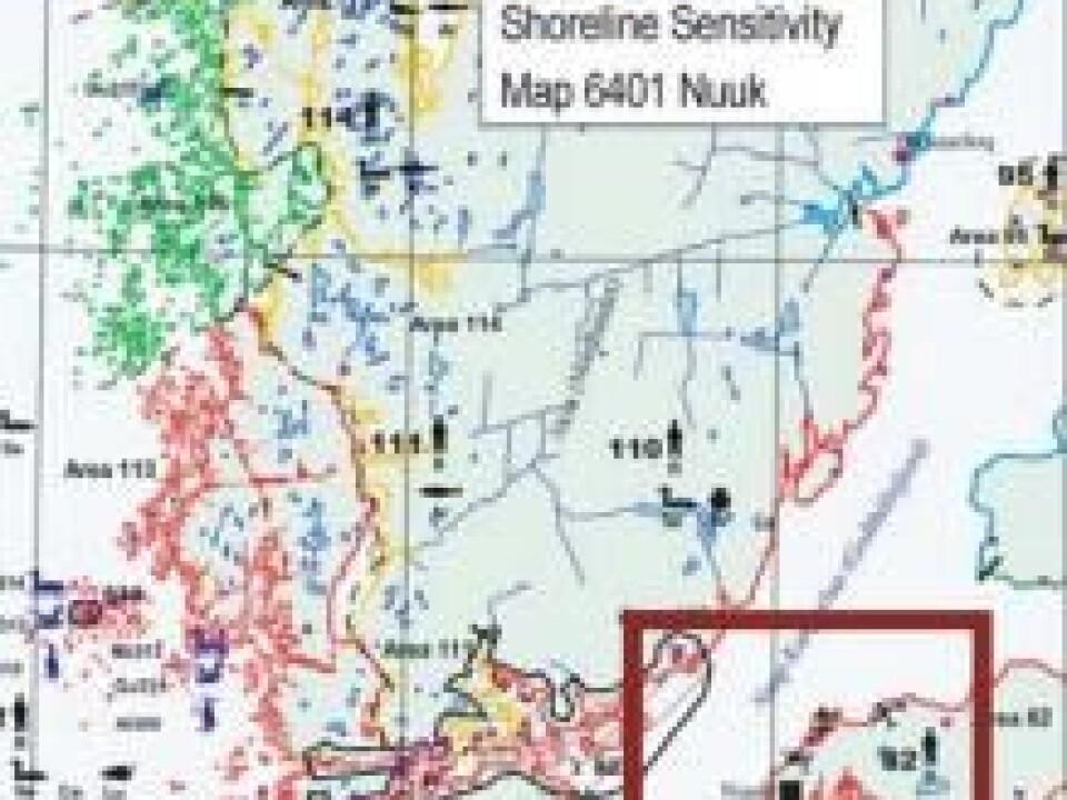
The authorities and the oil industry now have a new tool for tackling oil spills – an environmental atlas, which researchers from Aarhus University and the Greenland Institute of Natural Resources have used many years to prepare. The atlas shows the natural areas in Greenland that are most vulnerable to oil spills.
Part of Greenland’s plans for emergencies
With the highly detailed and comprehensive atlas, the authorities will know precisely where they should focus emergency efforts to avoid the worst damage.
“The seas around Greenland are very sensitive to oil spills, but the new atlas forms part of Greenland’s emergency plans for dealing with catastrophes of this type,” says Anders Mosbech, an environmental biologist with DCE – Danish Centre for Environment and Energy at Aarhus University. “Thanks to the atlas, they can now see where oil barriers are vital in limiting oil spills.”
In the event of an oil spill, the atlas will also be used to choose the best strategy in fighting the pollution – e.g. burning the oil or dispersing it – while ensuring minimal damage to the environment.
Traces of oil were found recently at a test well, and they indicate that there could be useable oil reserves. Our knowledge of this find is limited at the moment, but it appears to be promising and requires further tests.
Transmitters follow animals everywhere
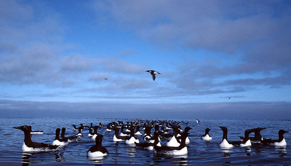
The researchers have spent a decade on preparing the atlas, which has required mapping areas that are vital for the fish, birds and animals living on Greenland – from the spawning grounds of the capelin to the movements of migratory birds and marine mammals. The atlas has precise descriptions of coastal areas’ ecological hotspots.
One project was following the movements of birds and mammals using telemetry – satellite transmitters and data-loggers. Of particular interest were the movements of the little auk – 75 percent of this species of sea bird breed in Greenland, which makes the species extremely sensitive to environmental catastrophes.
“There has been a need for a thorough, fundamental map of the areas that are very important for birds, fish and mammals,” says Mosbech. “This applies for instance to the areas of Greenland where many birds, which have moulted their wing feathers and thus cannot fly, congregate. These birds are obviously particularly sensitive to any oil spill in the area.”
An aid to authorities and industry
The atlas also contains detailed information about many fish species and indications of where algae and zooplankton will grow in the spring.
This new atlas will be worth its weight in gold to both the oil industry and the authorities. The oil companies will be more aware of the consequences of their drilling operations, while the authorities in collaboration with the industry have more knowledge available in their preparations for emergency measures to counter oil pollution.
“Developments in Greenland have been fast and oil exploration has accelerated over the past five years,” says Mosbech. “The worst that can happen in environmental terms is an oil spill in connection with a blow-out, when drilling an oil well gets out of control and oil gushes out. If this happens you need to know precisely what you must do to limit the damage quickly and effectively.
“Our new atlas means the authorities and oil companies do not work blindly but have full knowledge of the location of vulnerable areas, so they can determine where and how to fight the oil spill.”
Read the article in Danish at videnskab.dk
Translated by: Michael de Laine