Greenland melt linked to weird weather in Europe and USA
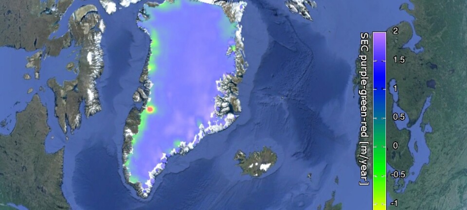
GREENLAND: The Arctic is warming more than anywhere else and Greenland might be melting faster than previously thought. See how this could affect you in our interactive map.
(Interactive Graphic made by Mette Friis-Mikkelsen with map data from Google (SIO, NOAA, U.S. Navy, NGA, GEBCO. Image Landsat. Image U.S. Geological Survey).
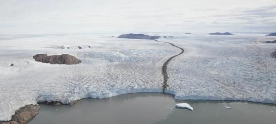
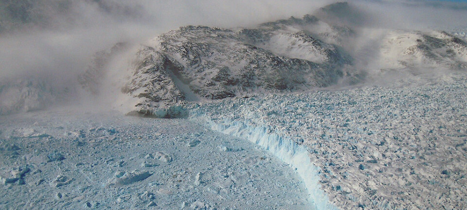
Greenland is a vast island, almost entirely covered by the world’s second largest ice sheet. Almost 2,900,000 cubic kilometres of water is locked up as ice, which is enough to raise global sea level by seven metres if all of it were to melt.
But sea level rise is just one part of the story and a warmer Greenland has some more immediate consequences for the Earth’s climate system.
Some scientists think that we are already witnessing the effects of a warmer Arctic by way of changes to the polar jet stream. While an ice-free Arctic Ocean could have big impacts to weather throughout the US and Europe by the end of this century.
We may even see so-called ‘superstorms’ if melt water from Greenland eventually shuts down ocean circulation in the North Atlantic, say some scientists.
Use the interactive map above to explore some of these phenomena and see how changes in Greenland and the Arctic drive changes in global climate and environment, now and in the future.
Warmer Arctic: Kinky Jet streams cause weird weather
Jet streams are the atmospheric superhighways that drive weather systems from west to east throughout the northern hemisphere. They are powered by the difference in temperature between the cold Arctic air and the warmer mid-latitudes.
But this north-south temperature contrast is shrinking because the Arctic is warming faster than the rest of the planet--a process known as Arctic amplification. And there is already evidence that jet streams are weakening as a result, say scientists.
“Climatology of the last five years shows that the jet has weakened,” says meteorologist Michael Tjernström, from the Stockholm University, Sweden. Its effect on weather around the world is a hot topic.
“This is a huge debate [because] we’ve had strange weather for a couple of years. But it’s difficult to say exactly why.”
One explanation is that a weak jet stream meanders in great loops, which can bring extremes in either cold dry polar air or warmer wetter air from the south, depending on which side of the loop you find yourself. If the jet stream gets stuck in this configurations, then these extreme conditions can persist for days or weeks.
A kinked jet stream may have caused the record cold January and February on the east coast USA in 2015 and a record warm winter later that same year. Europe also felt the effects with summer heat waves and mild wet winters with exceptional floods in the UK.
See how jet streams influence weather patterns in our interactive map.
An ice-free Arctic: more coastal erosion and faster glacier melt
Each winter, sea ice extends across the Arctic Ocean and around Greenland. But the maximum extent of winter sea ice has been shrinking for the last 30 years and this winter it was at a record low, beating the previous low of 2012.
Scientists predict that the Arctic could be ice-free for up to seven months of the year by the end of this century.
“This means that we will have new conditions--more wind and open water in the arctic,” says oceanographer Mikhail Dobrynin, University of Hamburg, Germany, speaking at a press conference on sea ice decline in the Arctic at the European Geosciences Union General Assembly 2016.
An ice-free Arctic might open up new fishing waters and shipping routes, but it will also be wavier and erode the coastlines of Siberia, Russia, northern Europe and Canada.
Declining sea ice also amplifies warming in the Arctic. Find out how in the interactive map at the top of this article.
Greenland melt water: switches off ocean circulation
The salty waters off the east coast of Greenland mark the start of the “global conveyor belt”--a vast stream of water that moves throughout the world’s oceans, redistributing heat, and driving atmospheric circulation and weather systems.
In the Atlantic Ocean the Gulf Stream acts as a conveyor belt that brings warm water and weather up from the tropics to the USA and Europe.
It continues to flow so long as the North Atlantic Ocean stays relatively warm and salty. But the vast quantities of fresh glacial melt water and calving ice bergs from Greenland, along with declining sea ice and fresh water from Siberian rivers could put the brakes on.
A weaker gulf stream could lead to cooler conditions in northwest Europe and some scientists think that it could even cause so-called super storms if it were to shut down entirely.
See how ocean circulation in the North Atlantic influences climate in the region in the interactive map.
The cold blob: a stormier Europe
According to some scientists, this slowdown of ocean circulation is already underway. One worrying indicator of this is the so-called ’cold blob‘ of ocean just south of Greenland, where melt water from the ice sheet accumulates.
The cold blob appeared in global temperature maps in 2014. While the rest of the world saw record breaking warm temperatures, this patch of ocean remained unusually cold.
Some scientists already attribute the warm and wet winter of 2015 in Western Europe to this ‘cold blob’, which may have altered the strength and direction of storms via the jet stream. And according to a recent study lead by James Hansen, from Columbia University, USA, the ‘cold blob’ could become a permanent feature of the North Atlantic by the middle of this century.
Hansen and his colleagues claim that a persistent ‘cold blob’ and a full shut down of North Atlantic Ocean circulation could lead to so-called ‘superstorms’ throughout the Atlantic. And there is geological evidence that this has happened before, they say. But the paper was controversial and many climate scientists questioned the strength of this evidence in an extensive online peer review.
Read more about the ’cold Blob‘ in the interactive map.


